

Gabonese authorities on July 19 arrested three Chinese industrial bottom trawlers inside the Grand Sud Reserve, one of the largest marine protected areas in Central and West Africa.
The operation was guided by Global Fishing Watch satellite data analysis, which showed authorities where to locate the Chang Hiu 01, Rong Chang 19 and Rong Chang 26, all of which were operating without licenses or documentation. Gabon loses an estimated $610 million annually to illegal, unreported and unregulated (IUU) fishing, a scourge driven by China’s distant-water fishing fleet. The trawlers’ owner has since reached a settlement with Gabonese authorities.
Wanjiku Chebet Kanjumba, a Ph.D. candidate in aerospace engineering at the University of Florida, believes satellites are a useful tool in the fight against IUU fishing, which robs the continent of $11 billion to $13 billion annually. China is the world’s worst illegal fishing offender, according to the IUU Fishing Risk Index.
Publicly tracking suspicious fishing vessels depends on ships recording their positions via their automatic identification systems (AIS), which they switch off to avoid detection.
Kanjumba and her supervisor, Norman Fitz-Coy, have developed a tracking system capable of detecting vessels that have turned off their AIS. The system was designed for the Somali Basin, the stretch of the western Indian Ocean between Somalia and Kenya. The basin teems with tuna but is sparsely patrolled, allowing fishing vessels to illegally exploit the countries’ exclusive economic zones and other prohibited areas. According to Kanjumba, the system was designed specifically for the equator due to gaps in satellite coverage.
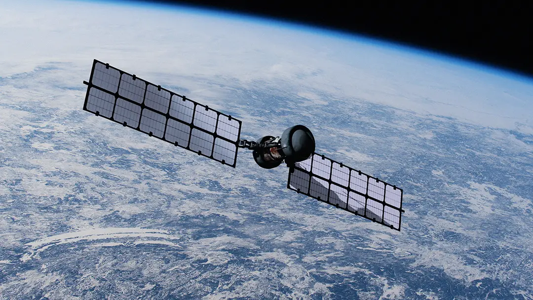
Fitz-Coy and Kanjumba modeled 24 satellites tilted at 20 degrees to the equator so that they never veer far from the line. The 20-degree tilt can carry satellites over the Somali Basin once every 66 minutes. Planes or drones can fill gaps between satellite passes.
“Put plainly, satellites hugging the Equator see the basin about three times more often,” Kanjumba wrote for The Conversation. “Commercial radar operators have begun flying tilted orbits at 40 and 45 degrees for this reason, but none fly low enough to concentrate” on the Somali Basin.
Fitz-Coy and Kanjuma’s system uses radar to find vessels and sensors that generate images sharp enough to help determine a ship’s identity. The system rapidly sorts the images so it can determine whether a trawler deserves more scrutiny.
“A system that could keep these waters under near-constant observation is affordable and can be built with technology that exists today,” Kanjumba wrote.
The system will cost about $347 million over five years, and Kanjumba said price should not be an obstacle, considering the billions of dollars the continent loses to IUU fishing. She suggested that countries that partner with FISH-i Africa could split the cost. FISH-i is a partnership that brings together national enforcement authorities, regional organizations, and international technical and legal experts to combat illegal fishing in the western Indian Ocean.
Comoros, Kenya, Madagascar, Mauritius, Mozambique, Seychelles, Somalia and Tanzania are FISH-i members, and each is in the Western Indian Ocean region. It would cost about $9 million annually, per country, if the cost were split equally.
“The expensive way to buy this capability is one nation at a time,” Kanjumba wrote for The Conversation.
She cited the recent Mombasa Declaration as another sound effort to combat IUU fishing. Cameroon, The Gambia, Ghana, Guinea, Liberia, the Republic of the Congo and Somalia signed the declaration in June.
The agreement supports the Global Charter for Fisheries Transparency, which aims to improve governance by modernizing digital vessel registries, and publishing fishing licenses, authorizations, access agreements and quota allocations. Belgium, Chile, the Dominican Republic, France, Panama, Papua New Guinea, Peru and South Korea also signed the agreement.
China did not.