ADF STAFF
The fishing vessels working African coastal waters use different electronic systems to report their position and avoid collisions with other boats. The systems also provide a way to track vessels that may be engaging in illegal fishing — but only when the devices are active.
It’s not uncommon for vessels operating illegally to switch off their automatic identification systems (AIS) or vessel monitoring systems (VMS) to avoid detection. Now, new satellite technology provides a way to pinpoint fishing vessels engaging in illegal, unreported and unregulated (IUU) fishing, regardless of when or where they do it.
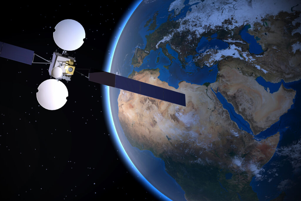
Satellites equipped with synthetic aperture radar (SAR) can detect vessels through darkness or strong weather — two factors that can impair satellites using cameras. Other satellites can track vessels by identifying their radio transmissions. Infrared imaging systems can detect boats operating at night. All three technologies let authorities monitor vessels that have disabled their AIS or VMS systems.
Satellites can also identify trans-shipments in which illegally caught fish moves from one vessel to another while at sea.
“States and management bodies can leverage satellite-generated data for IUU detection to gain clarity on where to best focus limited resources,” researchers with the Global Fisheries Initiative wrote in a report.
IUU is the third-most-lucrative natural resource crime after illegal logging and mining. African nations are the victims of nearly half the IUU fishing worldwide and lose an estimated $11.5 billion to the practice each year, according to the Financial Transparency Coalition.
The growing volume of data produced through satellite systems lets countries compare notes and act together to curb IUU in their waters and make fishing stocks more sustainable, according to the report.
“In the next couple of years, we expect to see more and more space-based SAR data to the point where we can get rapid revisit to most parts of the world,” Jared Dunnmon, technical director of the artificial intelligence unit of the Defense Innovation Unit of the U.S. Department of Defense, recently told Defense One. “That’s a game-changer.”
Automated algorithms quickly analyze large volumes of SAR data to detect and characterize vessels and let governments track illegal fishing in an unprecedented way, Dunnmon said.
As an example of satellites capabilities, Global Fishing Watch’s current online database reports nearly 4,000 vessels detected off the coast of Cameroon between March 2022 and the end of February 2023. About one-third of those vessels were unidentified, meaning they either lack AIS or VMS or disabled them to cover up their activity.
The Global Fishing satellite database shows concentrations of fishing activity around the border of Cameroon and Nigeria as well as off the coast of Senegal and The Gambia.
Satellites can do more than detect IUU as it happens. They can also measure ocean conditions and the distribution of marine life in a way that helps countries predict where and when IUU is likely to happen so they can be ready to act against it, according to analyst Cody Knipfer writing in The Space Review.
“With that information, authorities can better allocate resource to and prioritize inspection and enforcement in current or predicted areas with large fish populations, which are at highest risk of illegal fishing,” Knipfer wrote.
Despite their capabilities, satellites can’t stop IUU or address its causes, Knipfer wrote.
“Winning the fight against illegal fishing will require effective regulation, enforcement, partnerships and international buy-in,” Knipfer wrote.

