THOMSON REUTERS FOUNDATION
Researchers are using a monitoring tool that tracks water supplies worldwide and factors in social, economic and demographic data to forecast water-related conflict.
The tool being developed by the Netherlands-based Water, Peace and Security partnership (WPS) was tested in Mali’s Inner Niger Delta and successfully predicted more than three-quarters of conflicts. Many deadly conflicts begin as disputes over scarce natural resources, and the group hopes the tool will allow for early intervention and mediation.
Artificial intelligence can predict where conflicts will break out up to a year in advance and allow action to prevent them, researchers say.
“We want to detect conflict early enough … to then engage in a dialogue process that helps to address these conflicts — ideally mitigate them early on or resolve them,” said Susanne Schmeier from the IHE Delft Institute for Water Education, which leads the WPS.
The WPS said its tool is a step forward and draws on advances in remote sensing, machine learning and big data processing to provide alerts that can be acted upon. The system uses data from NASA and European Space Agency satellites that monitor water resources around the world. It then analyzes the information with data from governments, international bodies and research organizations to identify hot spots of potential conflict.
“The machine learning is able to detect patterns in the data where humans can’t,” said Charles Iceland of the World Resources Institute, which also is working on the system.
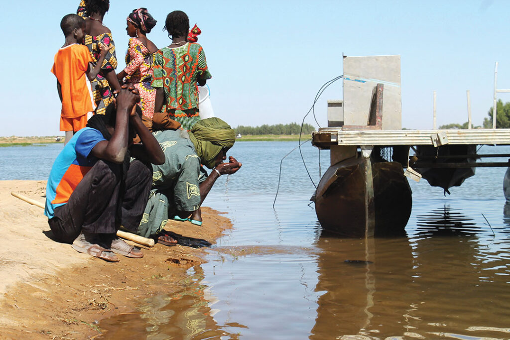
In tests using 2016 data from the Inner Niger Delta, the tool correctly predicted water conflicts would break out farther south in 2017 as the population grew while resources were diminished by the diversion of water to cash crops.
“The early warning system serves as a prioritization tool,” Iceland said. “We can determine the hotspots — the places you have to really tackle immediately.”

