ADF STAFF
Home to the second-largest rainforest in the world, the Congo Basin plays a crucial role in the world’s biodiversity, water quality and in regulating the amount of carbon dioxide in the atmosphere.
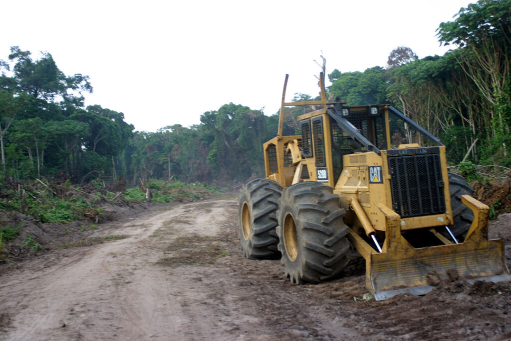
All of those benefits are under assault. In 2019 alone, nearly 7,000 square kilometers of forest vanished from the Democratic Republic of the Congo (DRC). Many factors are driving deforestation, from traditional slash-and-burn farming to mining and illegal logging. The development of the trans-African Lagos-Mombasa Highway also has opened previously inaccessible portions of rainforest in Cameroon and Nigeria to development.
In the past, tracking deforestation depended on visual observations from satellite photos. Thick cloud cover obscured the view of the forest from above for much of the year, making it hard to respond quickly to interrupt the destruction. Illegal loggers knew that and did most of their dirty work during the rainy season.
Now, researchers and forest advocates can use a combination of satellite-based radar, smartphone apps, and on-the-ground observations to cut through the clouds, pinpoint even tiny changes in the rainforest from week to week, and take action to shut down illegal activity.

The development of RADD, Radar for Detecting Deforestation, by the University of Maryland in the United States and Wageningen University & Research in the Netherlands, has put more power in the hands of those fighting to preserve the rainforest.
The system issues publicly available alerts to subscribers when deforestation appears. Weekly satellite images from the European Space Agency’s Sentinel-1 satellite capture changes as small as 100 square meters, allowing researchers and conservation groups such as the World Resource Institute’s Global Forest Watch to spot changes in the forest almost as they happen.
The RADD system covers the Congo Basin, which includes Cameroon, the Central African Republic, the DRC, Gabon and the Republic of the Congo.
The new radar-based technology augments other technology, such as the Forest Watcher smartphone app, to document illegal activity.
A recent study published in Nature Climate Change showed that alerts from Global Forest Watch’s satellite-based Global Land Analysis and Discovery system have helped Congo Basin countries reduce illegal activity by 18% compared to the average for 2011-2016.
“This decrease in Africa is higher in protected areas and concessions, suggesting that alerts either increased capacity to enforce existing deforestation policy or induced the development of more effective anti-deforestation policies,” the study’s authors reported.
One example is in Uganda, where Global Forest Watch and the Jane Goodall Institute developed the Forest Watcher app to document deforestation. The technology helped a ranger with Uganda’s National Forest Authority shut down one illegal logging operation.
“He was able to discover a quite large illegal logging operation under the crowns of the trees, under the canopy,” said Lilian Pintea, vice president of conservation science at the Jane Goodall Institute. “He was able to take a picture and locate the point. That information stored on his mobile device was used as evidence in court, and we were able to make the arrest of the poachers.”
Even with technology such as RADD at their fingertips, conservationists are fighting a constant threat to the rainforest from industrial development and poaching.
The number of logging roads slicing through the Congo Basin has grown dramatically in recent years, opening it up to legal and illegal logging along with cocoa farming and other activities.
“When you build a new road, you get two to three times more deforestation in the DRC than anywhere else in the Congo Basin,” Professor Bill Laurance, of James Cook University in Australia, told Science Daily. Laurance has worked in Africa for more than a decade and mapped the DRC’s entire road network using satellite imagery.
Since 2003, the DRC’s road system has grown by 60% to 233,000 kilometers, according to his research.
The DRC government has pledged to increase logging. In 2018, it leased 650,000 hectares of rainforest to Chinese logging companies.
“And that’s just the tip of the iceberg,” Laurance said.

